

Summary
Current Protection
Designated Wilderness
Management Agency
U.S. Forest Service
Year Protected
1989
Total Area
10,488 Acres
In 1989, the United States Congress designated the Nevada portion of the Boundary Peak Wilderness protecting an area of about 10,000 acres, most of which lies above timberline. At the north end of the White Mountains, Boundary Peak rises to 13,147 feet, the highest point in Nevada. While it is the highest point in Nevada, the considerably taller Montgomery Peak (13,441 feet) is less than 1 mile to the west, across the state line in California. By most definitions, Boundary Peak, which has a prominence of only 253 ft, is considered to be a sub-peak of Montgomery Peak. South, across the California state line, the immense granite crest of the White Mountains sweeps the vista. This dry, cold wilderness exists within the nation's highest desert mountain range, and is the fortress home to bighorn sheep and bristlecone pines.
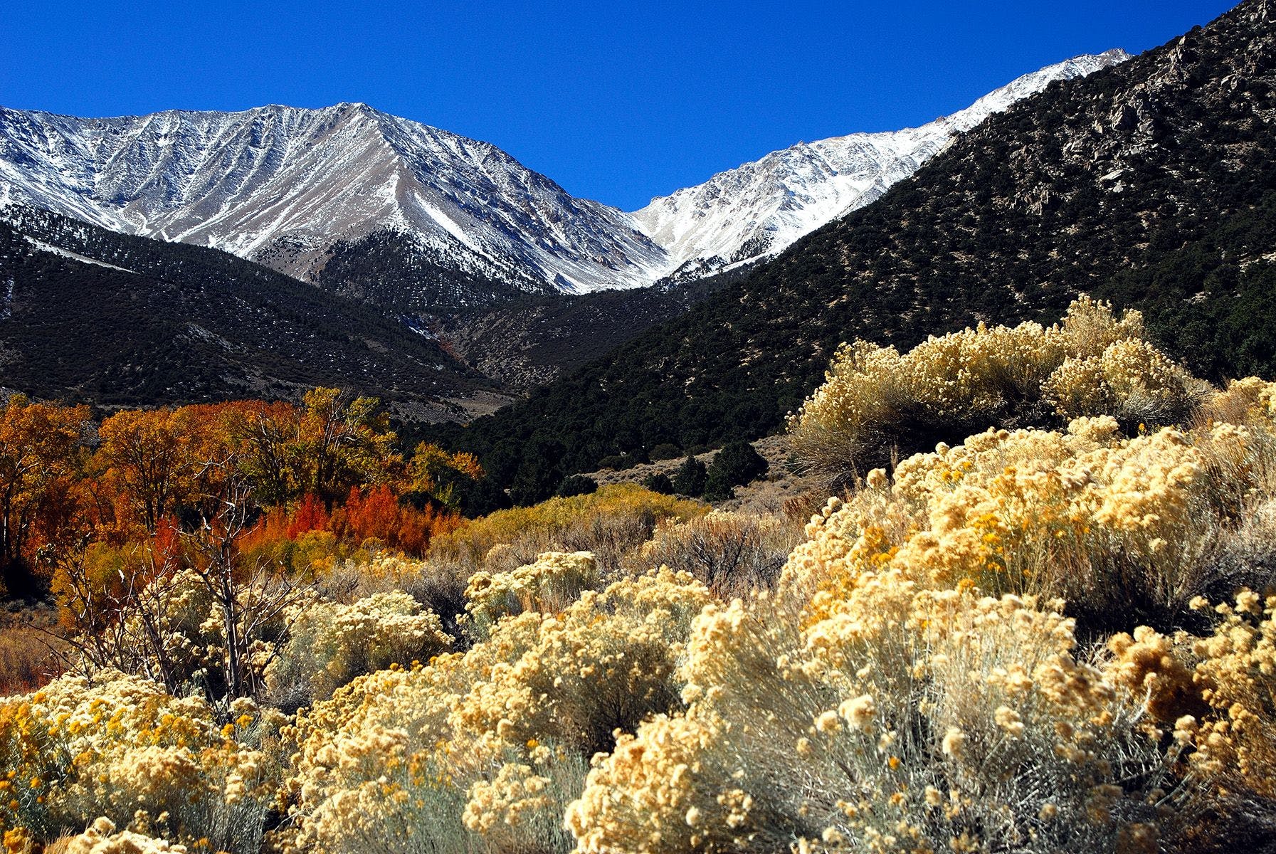
From the high summits, alternate vistas of valleys and Great Basin ranges recede toward the east. Looking west, you feel as if you could reach out and touch the Sierra Crest. Winter brings dense snow to the northern part of the White Mountains, and these lingering snows prolong spring through August on the fragile expanses of alpine tundra on Pelasier Flats below the peaks. This high, exposed country can be inhospitable. In the summer surface water is generally absent and gale-force winds and frequent lightning may create dangerous conditions.
Agency Information
Managing Agency: U.S. Forest Service (Inyo NF)
Local District: White Mountain Ranger District
Address: 798 North Main St., Bishop, CA 93514
Phone: (760) 873-2500